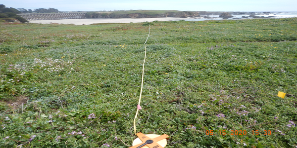
Relevè: MacKerricher State Park Pudding Creek Headlands Photo: Renee Pasquinelli
Affecting Mendocino and other Northern California Coastal Counties
- Environmental Concerns for Proposed Transfer Station - Hwy 20 - Mendocino Coast Recreation and Parks District(MCRPD) property -02-03-2021
- Sensitive Natural Vegetation Communities - CDFW Map of MCRPD Hwy 20 Property
- Support to Restrictions of Livestock Grazing at Point. Reyes NationalSeashore before California Coastal Commission 01-06-2021
- Latest: DKY CNPS comments on THP 1-20 -00006 (Caspar 500) Minor Amendment Botany Report
- DKY CNPS comments - on the consistency of THP 1-20-00193-MEN (“Mitchell Creek”), including cumulative effects associated with adjacent timber harvest plans (THP 1-20-00006-MEN “Caspar 500”and the proposed submittal of “Railroad South THP”, with the approved EIR for the Jackson Demonstration State ForestManagement Plan 11-23-2020
- THP 1-20-00193 MEN - Additional Comments 12-20-2020
- THP 1-20-00173-MEN -("Little North Fork Big River") - DKY Comments12-31-2020
- THP 1-20-00193-MEN - (“Mitchell Creek”)- DKY Comments 01-30-2020
- Dogwood THP - CDFW Comment Letter
- White Paper - Flood prone Considerations - in the Coastal Redwood Zone
- DKY Response - to Proposed Gibney Lane Evacuation Route 04-03-2019
- Gibney Lane - Irreversible road related impacts 01-26-2021
- Letter to Helene Chalfin concerning Gorse Removal/ManagementProject in the Caspar Community
- Mill Bend Conservation Project - Letter of Commitment June 2019
- Letter from Hans Jenny - concerning financial support for a film aboutJug Handle Ecological Staircase and the Pygmy Forest
For those that are curious here is the link to the CNPS Manual of California Vegetation Online. The link leads to an overview of How to Read the Alliance and Other Descriptions and well worth the look to get a picture of how the Alliance system is setup and functions. Most of the state has been surveyed with the exception of the Northern Coastal areas which is why the data generated by the following projects is important to creating the Alliances and Associations for Northern California Coast.
DKY Chapter volunteers Teresa Sholars, Renee Pasquinelli, Mario Abreu and Jim Gibson along with Terra Fuller from State Parks and joining us, when their schedules permit, are Peter Warner, Alison Gardner, Stevie Jean and Jim Xerogeanes in this years surveys which began at the southern end of Spring Ranch in Van Damm State Park. We were joined in August and October by Claudia Voigt from CNPS and Barbara Rice Intern, Sara Bandali. - Webmaster
2022 Locations: include Spring Ranch, Caspar Beach Trail, Caspar Beach Doyle Creek Vegetation, Russian Gulch, MacKerricher StatePark (Lake Cleone, HaulRd-Ward Ave and South of Laguna Point), Point Cabrillo, Big River Salt Flats, Big River Haul Rd (Torreya californica stand), Albion River - Salt Marshes and Enchanted Meadow, Russian Gulch State Park, JDSF-Chamberlain Creek Waterfall area
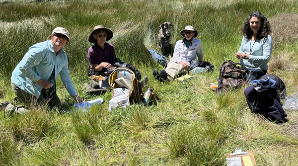
Big River Salt Flat - Terra, Stevie Jean, Lupine, Teresa, Renee - Photo Credit - Jim Gibson
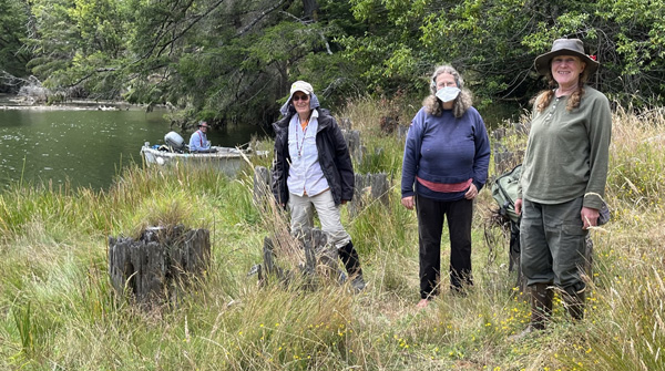
Albion River - Skipper Dan Gates, Teresa, Alison, Gabrielle Levine (Host and Tour Guide)-Photo Credit, Jim Gibson

Humboldt Training Jim Xerogeanes, Teresa Sholars, ?, Claudia Voigt, Sara Bendali, Peter Warner -Photo Credit Renee Pasquinelli
In late July, the California Native Plant Society (CNPS) Vegetation Program held a 4-day sensitive plant community training and calibration along the North Coast. Together a total of 36 participants, CNPS Chapter members (from Dorothy King Young, North Coast, & Sanhedrin), California Department of Parks & Recreation (CDPR) and California Department of Fish and Wildlife (CDFW) staff, and other local partners reviewed the vegetation sampling procedure for the fine-scale vegetation mapping project of the North Coast and North Coast Ranges ecoregions... read more (Volume 2022, July—Aug 2022 edition of the Calypso, page 4)
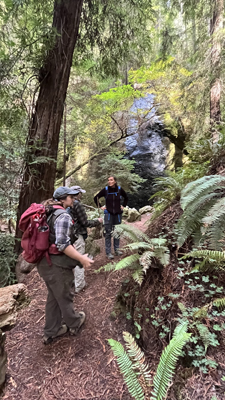
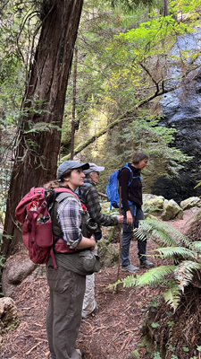
Sara Bandali, Tersa Sholars, Claudia Voigt at Chamberaline Creek in Jackson Demonstration State Forest - Photo credit, Jim Gibson
DKY Chapter volunteers Teresa Sholars, Lupine, Renee Pasquinelli, Mario Abreu, Jim Gibson, Stevie Jean, and Dave Hartesveld along with Terra Fuller from State Parks are taking part in this years surveys which began at Glass Beach Headlands where four Relevés surveys have been conducted. A Rapid Assessment survey was done at the northern end of Jug Handle (Pine Beach access) in the Pinus contorta ssp. contorta forest. -Webmaster
2021 Locations: (so far) Glass Beach, Jug Handle (Pine Beach Area North of Jefferson Way), Mendocino Coast Botanical Gardens, MacKerricher State Park (Lake Cleone), Jackson Demonstration State Forest (Mushroom Corners & the August 13th burn area west of Road 408 adjacent to the Zieimer Regeneration Unit)
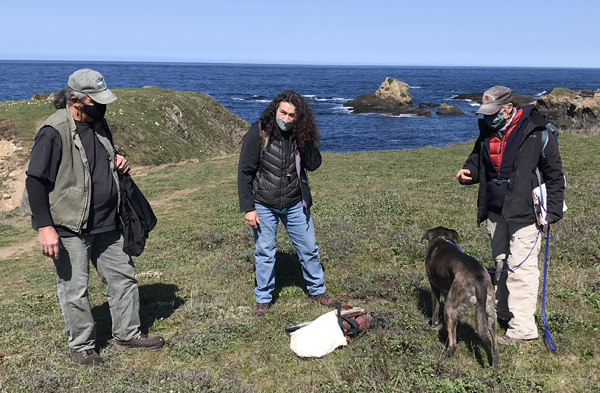
Jug Handle Rapid Assessment Team: Mario Abreu, Renee Pasquinelli, Lupine, Teresa Sholars, Jim Gibson (not pictured) at the headlands at the northern section of Jug Handle (Pine Beach Access)
- Photo Credit - Jim Gibson
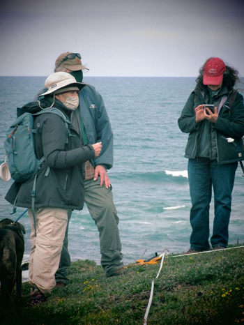
Glass Beach Relevé - Lupine, Teresa Sholars, Jim Gibson, Renee Pasquinelli, Mario Abreu (not pictured) -Photo Credit: Mario Abreu
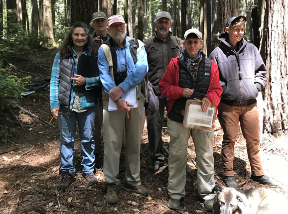
Jackson Demonstration State Forest - Mushroom Corners RA - Renee Pasquinelli, Jim Gibson, Dave Hartesveldt, Mario Abreu, Teresa Sholars, Lupine, Stevie Jean -Photo Credit: Jim Gibson
Jackson Demonstration State Forest - August 13,2021 Burn Incident - Rapid Assessment Post Burn Monitoring
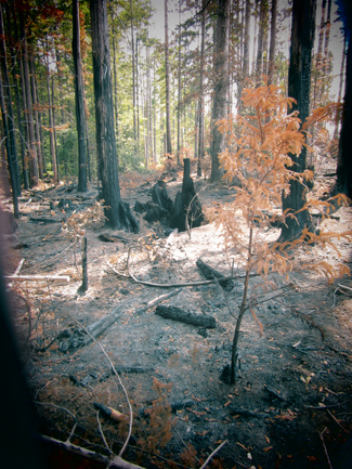 | 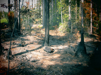 Photo credits: Mario Abreu |
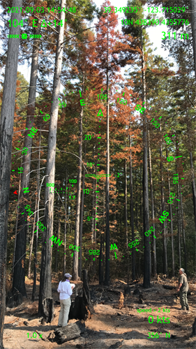 Teresa and Mario measuring tree and burn height | 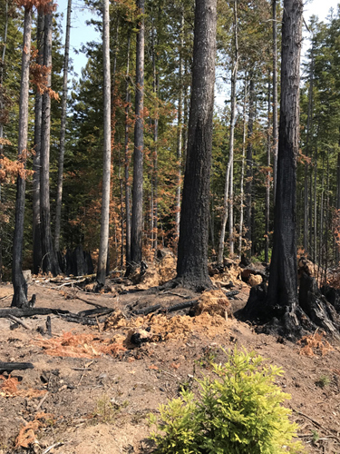 Photo credits Jim Gibson |
 Pre-Covid-19 Glass Beach
2020 Locations: Navarro Point, Mendocino Headlands, Russian Gulch, Glass Beach, Pudding Creek to Laguna Point
In 2020 DKY volunteers began by continuing Relevés from 2019 in building Veg-maps and Alliances along the coastal bluffs of the Mendocino Coastline. Participants - included Teresa Sholars, Renee Pasquinelli, Peter Warner, Alexis LaFever‐Jackson, Terra Fuller (State Parks),and Jim Gibson. The first 2020 Relevé began with Glass Beach where we were joined by Jennifer Buck‐Diaz (Vegetation Ecologist with CNPS) and other CNPS interns including Alexis LaFever‐Jackson for an Introduction to the Collector App for sending our location data and other info to CNPS's ArcGIS Data base and a refresher on relevé protocols. Great start that day in March just the day before the statewide COVID-19 Shelter-In-Place Lock down put us on standby for two months. Once we were allowed to resume, COVID-19 health protocols were observed in the field and our work began anew.
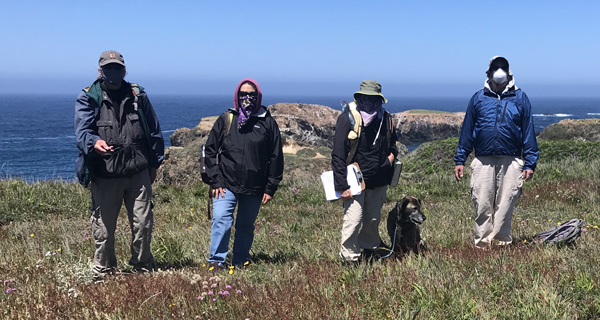 Mendocino Headlands Covid-19 Protocols: Jim Gibson, Renee Pasquinelli, Teresa Sholars, Lupine, Peter J. Warner
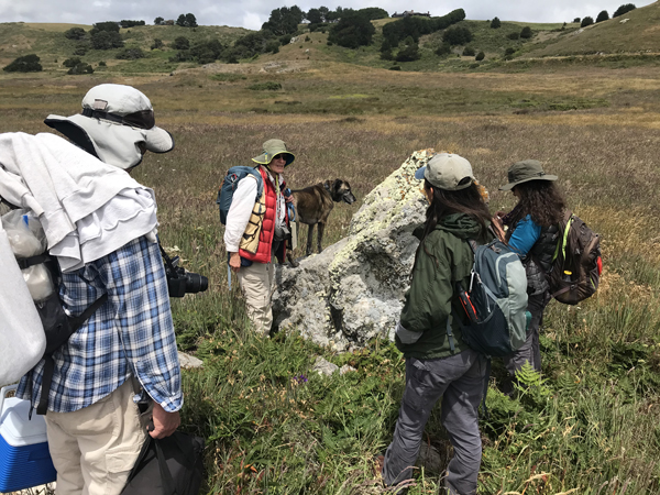 Navarro Point - Peter Warner, Teresa Sholars, Lupine, Alexis LaFever-Jackson, Renee Pasquinelli
“The four areas of support being developed for the coalition are:
1) Research and advocacy updates (available at
californiaoaks.org).
2) Information to educate and engage the public.
3) Tools for participating in planning processes and
educating opinion leaders.
4) Materials to inform local, regional, and state governmental agencies of the
opportunities for and benefits of protecting oak woodlands...”
‐ OAKS [California Oaks Newsletter FALL/WINTER 2019/2020]
